
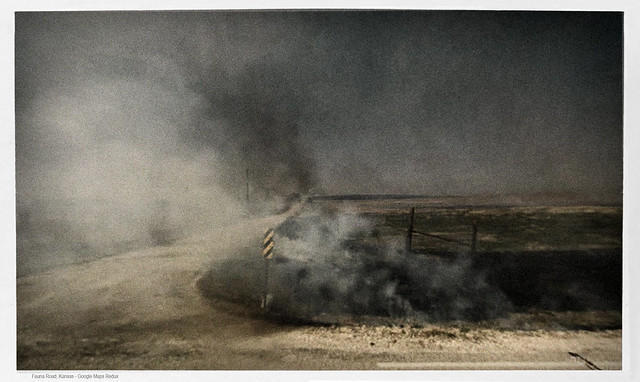
Grass Burn, Fauna Road, Kansas – Google Maps Redux
View larger
Google Maps Redux (repurposing street view). In April of 2009, the Google car traveled through a Kansas grass fire for a mile on Fauna road. Here and there are flames lapping the side of the highway. The grass fire mainly affected land at the highway’s edge but scorched black can be sometimes seen consuming acres beyond. There are no fire trucks. I read that every April, in the Flint Hills, ranchers set intentional blazes to produce fresh grass for cattle. Perhaps this was one of those burns, though I’m surprised to see no people attending it, and that it is principally road side, where cattle won’t be ranging.